J-K: Heavy snowfall witnessed in Srinagar
Feb 04, 2024

Srinagar (Jammu and Kashmir), February 4 : Srinagar, a renowned tourist spot in Jammu and Kashmir, turns into a winter wonderland with heavy snowfall on Sunday. After a prolonged dry spell, the snow has brought a sense of hope and rejuvenation to the people who rely on it for various reasons.
A fresh snowfall in Srinagar has brought much-needed relief among the residents.
The snow is not only a beautiful sight to behold but also a crucial source of water.
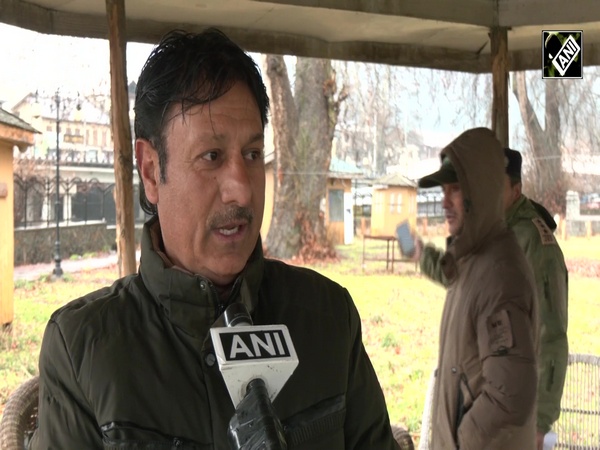
One tourist, while sharing his experiences, told ANI that, "It's so beautiful, witnessing Kashmir after hearing so much about it. I ventured out today just to behold this view. With heavy snowfall, I hope it doesn't get too cold. Initially, I was disappointed, thinking there might be no snow, but since the day before yesterday, it's been wonderful. I hope such snowfall continues, benefiting farmers who were worried about horticulture and water issues, thinking their crops wouldn't be good. After the snowfall, there's hope that their crops will thrive."
Also, according to the India Metrological Department, shallow fog is observed in Jammu and Kashmir.
"Fog conditions observed (at 0830 hours IST of today): Dense fog in isolated pockets of Odisha; Moderate fog in isolated pockets of Punjab, Himachal Pradesh and Sikkim; Shallow fog in isolated pockets of Jammu-Kashmir, Delhi and Assam," IMD in a post on X.
Further, the visibility recorded on Sunday was less than equal to 500 in Banihal, IMD in a post on X shared.
"Visibility recorded (at 0830 hours IST of today) (<=500 metres): Jammu & Kashmir: Kupwara, Batote & Banihal-500 each; Punjab: Ludhiana-200; Himachal Pradesh: Shimla-200, Kalpa-500; Delhi: Safdarjung-500; Odisha: Paradip-50, Chandbali, Balasore, Gopalpur & Puri-500 each," IMD in a tweet.
Earlier, after the wet weather, induced by a western disturbance, prevailed across North India over the last few days, another western disturbance is set to alter weather conditions in the mountain regions this weekend, India Meteorological Department (IMD) Scientist Naresh said.
Naresh said that snowfall is expected in Jammu and Kashmir and Himachal Pradesh on February 4 and Punjab, Haryana, Western Uttar Pradesh and North-West Madhya Pradesh will experience light hailstorms.
He also said that the effect of the previous western disturbance lasted till Thursday, leading to intense snowfall in Jammu and Kashmir, Himachal Pradesh and Uttarakhand.
On the possibility of a rise in temperature since another Western Disturbance is set to alter weather patterns in north-west and central India, Naresh said temperatures will increase during the morning and dense fog may be expected in isolated pockets in Punjab, Haryana and Delhi NCR.
"There will not be a cold day, as temperatures will not drip in the next few days. So we are not expecting cold day in the next few days. We are also not expecting cold wave in the next 5-7 days," he said.
Speaking about the weather pattern in the national capital, Lokesh said, "In Delhi, there might be light rainfall from February 3 to February 4."


